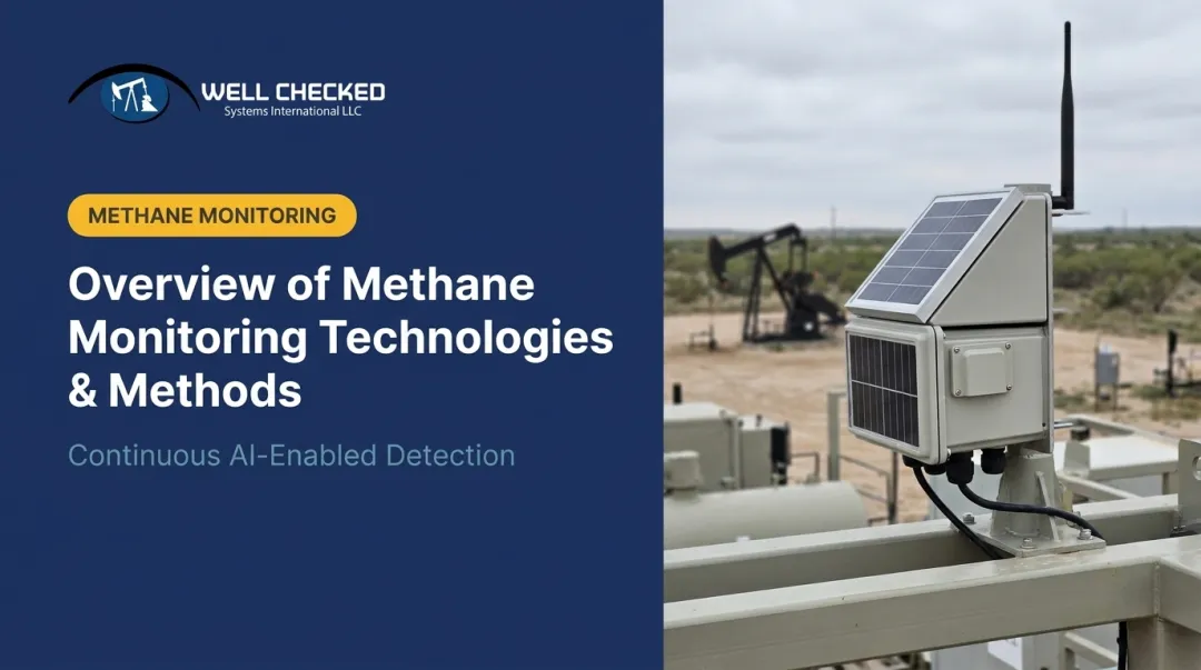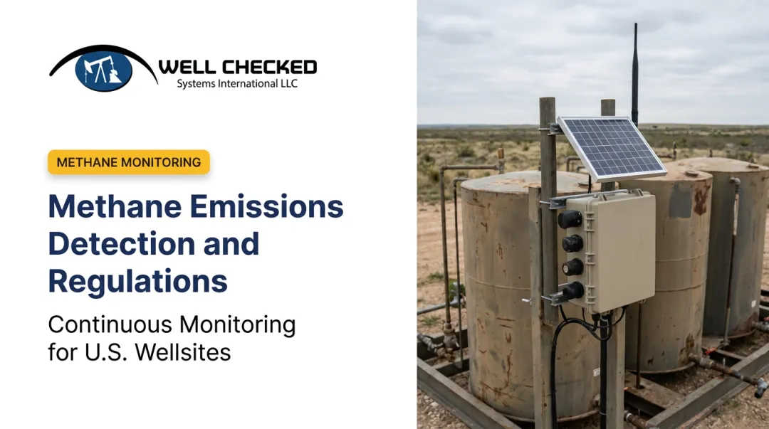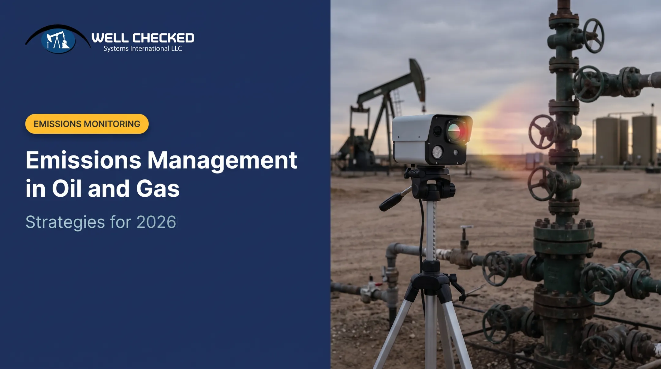

The stakes are higher than ever. Methane is the principal component of natural gas, and the EPA's tightening rules mean monitoring technology is no longer a checkbox. It's a business-critical investment. Operators who treat detection as an afterthought are exposed to fines, investor scrutiny, and rising site-visit costs that can run into the millions annually.
This article breaks down the five biggest monitoring trends shaping 2026, what's driving them, and how operators are adapting.
Key Takeaways
- Satellite, aerial, fixed-sensor, and AI multi-sensor tools now stack into layered detection strategies
- EPA Subpart OOOOb and OGMP 2.0 Level 4/5 push operators from periodic LDAR to continuous, quantified monitoring
- AI systems separate true fugitives from normal operations, cutting false alarms and site-visit costs
- Early adopters gain cost, safety, and compliance advantages over operators still on quarterly inspections
Key Trend 1: Satellite-Based Methane Detection Goes Mainstream
Satellites now play two distinct roles in methane monitoring — and each answers a different operational question.
Point-source imaging identifies individual plumes from specific facilities or equipment. Commercial point-source satellites target methane sources as low as roughly 70 kg/hour under moderate conditions, and facility-scale spectrometers generally detect releases around 100 kg/hour.
Area-flux mapping takes a wider view, estimating aggregate emissions across entire basins using atmospheric modeling. It won't tell you which valve is leaking, but it reconciles bottom-up inventories against what's actually in the atmosphere.
California's satellite data program shows this in action. The state's Satellite Data Purchase Program allocated $100 million to fund consistent satellite remote-sensing data.

But satellites have real limits:
- Cloud cover can block optical retrievals entirely
- Smaller, intermittent leaks often fall below detection thresholds
- Wind, surface reflectance, and viewing geometry all affect accuracy
Satellites are reshaping how regulators and investors verify basin-scale claims. They are not, however, a substitute for site-level monitoring. That gap is exactly where ground-based systems come in.
Key Trend 2: Continuous Multi-Sensor AI Monitoring at the Wellsite
Single-sensor point solutions—an infrared camera here, an acoustic sensor there—are giving way to integrated stacks that combine video, optical gas imaging, and acoustic AI into one system.
No single sensor tells the whole story. A camera might catch a visual anomaly a gas sensor misses. An acoustic sensor might pick up a compressor fault before it becomes a leak. Stacking sensors closes these gaps.
How AI "Site Learning" Cuts False Alarms
A wellsite has a lot of normal activity—venting, flaring, routine process emissions—that can trigger false alerts if a system doesn't understand context. AI-driven platforms solve this through a site-learning period, where the system builds a baseline of what "normal" looks like at that specific location before it starts flagging anomalies.
Well Checked's Zensory.ai™ platform is built on this model. Its multi-sensor stack combines:
- High-resolution video with AI object detection for continuous 360° coverage
- Long-Wave Infrared (LWIR) optical gas imaging for day/night methane and VOC detection
- Acoustic AI that flags abnormal equipment sounds
The platform establishes a site-specific baseline in roughly two days, then filters known process emissions from genuine fugitive events. It currently monitors remote sites with continuous video, acoustic, and infrared analysis.

Why This Matters for the Bottom Line
Continuous monitoring replaces quarterly LDAR snapshots with a 24-hour acknowledge-dispatch-mitigate response window once a validated event is flagged. That timing matters because a prompt, documented response is what an operator can later show a regulator reviewing how the event was handled.
The financial case is just as clear. Mid-to-large operators face $1 million to $5 million-plus in annual route-based site-visit costs, driven by lease operator labor, vehicle mileage, and inspection frequency. Autonomous systems that flag only real anomalies let field teams work by exception instead of driving routes that mostly confirm nothing's wrong.
Key Trend 3: Emissions Intelligence Beyond Detection
Finding a leak used to be the finish line. Not anymore.
Operators now expect monitoring platforms to answer three follow-up questions: Why did this happen? How significant is it? Did the fix actually work? That's a shift from "find-and-fix" LDAR workflows toward insight-driven programs that quantify and trend emissions data over time.
Plume visualization and event reconstruction help field teams cut through ambiguity. Well Checked's Zentinal IQ™ tier produces AI-refined plume analysis using LWIR optical gas imaging, generating:
- Quantified emissions volume, duration, and rate
- Trend-analysis reports
- Regulatory-ready compliance exports (CSV/JSON)
Event validation happens before quantification, so the data reflects a confirmed anomaly rather than noise. Operators see how much methane was lost and how urgently it needs attention, which directly informs repair prioritization.
Key Trend 4: Regulatory-Defensible Quantification and Reporting Frameworks
Estimate-based emissions reporting is losing ground fast. Regulators and investors alike now want measurement-based data.
EPA's Subpart OOOOb, finalized in March 2024, requires monitoring frequency scaled to site complexity:
| Site type | Minimum monitoring |
|---|---|
| Single-wellhead sites | Quarterly AVO inspections |
| Multi-wellhead sites | Quarterly AVO + semiannual OGI |
| Sites with major equipment | Bimonthly AVO + quarterly OGI |
| Compressor stations | Monthly AVO + quarterly OGI |

Repairs generally must begin within 15 days (AVO detections) or 30 days (OGI detections). The EPA also allows approved alternative continuous-monitoring technologies to satisfy these requirements.
Beyond EPA rules, measurement-based frameworks keep raising the bar:
- OGMP 2.0: Level 4/5 reporting — direct measurement, not emission-factor estimates — for assets covering 95% of material emissions
- SASB and TCFD: Investor-facing disclosure that expects publicly traded E&Ps to report credible Scope 1 methane data
Platforms that quantify duration and volume of methane loss, such as Zentinal IQ™ compliance-ready exports, give operators data for regulatory submissions and repair-and-maintenance ROI decisions. For public E&Ps under ESG scrutiny, reporting-grade data is becoming a real competitive edge.
Key Trend 5: Low-Cost Sensor Proliferation and Edge Computing
Continuous monitoring only scales if it's affordable, and sensor costs are finally dropping enough to make that possible.
LWIR (Long-Wave Infrared) sensors are a major driver. Unlike cooled mid-wave IR (MWIR) cameras, which need cryogenic cooling for high sensitivity, uncooled LWIR microbolometers skip the cooler entirely.
That design pays off in the field:
- Lower power draw, less maintenance, and a smaller hardware footprint
- Roughly one-third the cost of traditional MWIR solutions
- Day/night methane and VOC detection at remote wellsites

Edge computing solves a different problem: connectivity. Remote wellsites often lack reliable bandwidth to stream raw sensor data continuously. On-site processing lets systems analyze video, gas imaging, and acoustic data locally, then sync results when connectivity allows.
Together, these two shifts are why continuous monitoring is viable at scale across more U.S. basins, not just a handful of flagship pilot sites.
What's Driving These Methane Monitoring Trends
Regulatory, economic, and technological forces are converging at once, and that convergence is accelerating adoption faster than any single factor would alone.
Regulatory pressure is real and growing. The Inflation Reduction Act's Waste Emissions Charge was originally scheduled to reach $1,500 per metric ton by 2026, though current law has pushed the first applicable year to 2034. Onshore facilities exceeding a 0.2% waste-emissions threshold remain exposed once the charge takes effect.
Cost pressure compounds this. Route-based site visits, even using conservative EPA-modeled figures of roughly $483 per OGI survey per site, add up fast across a large well portfolio. Multiply that by hundreds of sites and multiple surveys a year, and automated monitoring's ROI case writes itself.
Technology maturity is closing the gap between promise and performance. AI/ML advances now power detection methods that filter false alarms at scale, including Well Checked's provisional patent application for infrared imaging combined with machine learning.
Investor and ESG demand adds another layer. SASB and TCFD disclosure expectations mean publicly traded E&Ps can't lean on estimates anymore—they need defensible numbers.
How These Trends Are Impacting the Oil & Gas Industry
The shift from periodic inspection to continuous monitoring touches every part of upstream operations.
Operational Impact
Field teams are moving from routine operator routes to "operate by exception" workflows:
- Skip fixed-schedule drives to every site
- Respond only when a validated anomaly triggers an alert
- Target a 24-hour acknowledge-dispatch-mitigate window
Business Impact
Capital is moving from field-visit labor into monitoring technology and data infrastructure. For mid-sized to large operators spending $1M–$5M+ a year on route-based site visits, that shift changes how compliance is budgeted long-term:
- Lower recurring labor tied to routine operator routes
- Higher spend on sensors, edge compute, and alerting platforms
- Continuous records replace periodic LDAR snapshot costs
Workforce Impact
Roles are shifting from patrol duty to data-led response:
- Interpret alerts and filter true fugitive events from normal process noise
- Prioritize repair work by severity, duration, and site risk
- Execute fixes quickly once a validated event is confirmed
Future Signals to Watch in Methane Monitoring
Monitoring technology won't stand still. Over the next one to three years, watch for:
- Operators scaling autonomous deployments beyond pilots into full portfolio coverage
- Tighter loops between satellite mapping and ground-level sensors, so basin-wide data gets cross-checked against site-level detail
- State and federal rules that demand measurement-based reporting and phase out estimate-only methods
- Continuous quantification becoming standard for OGMP 2.0 Level 4/5 and EPA Subpart OOOOb alternative monitoring
Conclusion
The 2026 methane monitoring landscape is defined by layered detection: satellites, aerial surveys, and autonomous ground sensors working together. Alongside that stack sits a broader shift from compliance checkboxes to operational intelligence.
Operators adopting continuous, AI-driven monitoring now are better positioned for tightening EPA rules and ESG disclosure demands. Choosing regulatory-defensible, scalable technology today cuts fine exposure and builds a competitive edge that periodic inspections cannot match.
Frequently Asked Questions
How do you detect carbon emissions?
Common methods include continuous emissions monitoring systems (CEMS), infrared point sensors, and satellite remote sensing. Methane-specific detection requires instruments and spectral bands validated specifically for methane, not general carbon monitoring.
How can I track carbon emissions?
Operators typically use emissions inventories, monitoring software platforms, and third-party verification tools to track emissions over time. They combine sensor data with reporting frameworks for an ongoing record, not a one-time snapshot.
What is the most accurate way to detect methane leaks at oil and gas sites?
Multi-sensor approaches combining optical gas imaging, acoustic AI, and visual monitoring generally outperform single-sensor methods. Layering sensor types helps catch leaks that any one technology might miss on its own.
How does the EPA methane rule affect monitoring requirements?
EPA Subpart OOOOb sets monitoring frequency by site complexity—from quarterly AVO inspections to monthly checks at compressor stations. Approved continuous-monitoring technologies can replace standard periodic surveys.
What is OGMP 2.0 and why does it matter for methane reporting?
OGMP 2.0 is a reporting framework where Level 4/5 requires measurement-based data rather than emission-factor estimates. It matters because it's becoming the credibility benchmark investors and regulators expect from serious operators.
Can satellites replace ground-based methane monitoring?
No. Satellites excel at basin-wide detection and verifying large emissions sources, but they struggle with smaller or intermittent leaks and can be blocked by cloud cover. Ground-based systems remain necessary to catch what satellites miss.